
Land Use Process & Zoning Permits
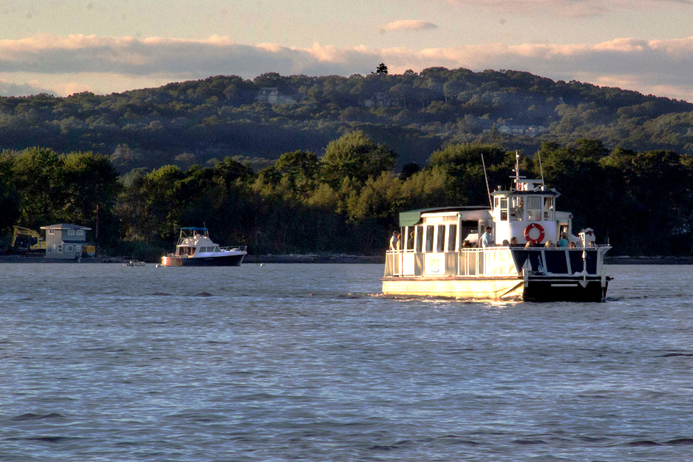
Outer Cove, Tom Walsh, Shoreline Aerial Photography
The permitting process for constructing homes and additions can be daunting. Professionals are often required to survey and design projects. Projects may also require approvals from local Planning & Zoning Commissions and Zoning Boards of Appeals.
If your property is within the Zone, your project may be reviewed by the Connecticut River Gateway Commission as well. The Gateway Commission’s responsibility is to ensure that the visual impact of a project – how it looks from the river and from across the river – are minimized. The Commission also reviews applications to minimize potential detrimental impacts to the ecology of the river and its related natural resources.

The Commission and staff are available to meet with you and your representatives (architects, engineers, etc.) to provide suggestions for a successful project.
Your first contact most likely will be with your town’s land use office, the Zoning Enforcement Officer (ZEO) or, in some cases, the Town Planner.
Based upon your proposed plans, or a verbal description of them, the town official will explain the process you will face. If the proposed project doesn’t comply with your town’s zoning regulations, a recommendation will be made to either consider a re-design for compliance or to apply to your local Zoning Board of Appeals (”ZBA”) for necessary variances. Redesigning to meet existing zoning regulations is usually more productive than seeking a variance.
In the case of a variance application, the Commission automatically receives a copy of the ZBA application to review for its impact to the natural and traditional river scene. Variance applications are most often handled by land use attorneys due the proceedings’ legal nature.
Will the project be detrimental to the river’s ecological health?
The Commission’s review will focus on your project’s perceived visual impact as well as its possible ecological impact. A response usually takes one of three paths — opposition to granting a requested variance, no opposition, or no opposition if certain protective conditions recommended by the Commission are applied by a Zoning Board of Appeal.
If the Commission has concerns, it will work with you to suggest ways to lessen your project’s visual and ecological impacts and be more in line with Zone Standards.
When a residential dwelling’s total area, including existing outbuildings, is over 4,000 square feet, or if an addition or outbuilding increases the total area of an existing dwelling to over 4,000 square feet, local regulations require that most projects must be approved by a Planning & Zoning Commission via a Special Permit process.
In those cases, applications are sent to the Commission by a Planning and Zoning Commission for advisory comments. As with variance applications, Gateway Commission staff can provide guidance on how to modify a design to lessen its visual and ecological impacts.
Discussions with town officials and the Gateway Commission are an effective way to avoid possible adversarial relations. The goal of towns and the Commission is to achieve a balance between your dream home and preservation of the beauty that first attracted you to the lower Connecticut River Valley.
This page is intended only as a general summary. Please refer to the Commission’s standards for complete regulatory language.
How to Easily Recognize the Zone
The “Conservation Zone” — the area in 8 towns precisely defined in state law as where the Gateway Commission preserves the “natural and traditional river scene” — can be identified in simpler terms. It is that visible area you can see if you’re on the river in a boat or looking across the river from the opposite shore.