
Where is the Zone?
Old Lyme River's Edge, Kathleen DeMeo
The Gateway Conservation Zone is specifically described by text in State law through several pages of streets, roads, rivers, and distances that constitute its boundaries.
The legal outline begins at northern Haddam, continues south through Chester, Deep River and Essex to Old Saybrook, crosses the river to Old Lyme, and proceeds north through Lyme and East Haddam to a boundary in Haddam Neck, a portion of Haddam on the east bank of the river.
See Section 25-102c at this link for the statutory description.
While you can read the entire 1,849 word legal text, the Connecticut River Gateway Commission has created an interactive map that makes it much easier for you to view the Zone.
Using the Interactive Map
- View the Zone in all of its 8 towns. Zoom in (or out) with the + and – buttons to see locations in closer detail or to follow the Zone’s contours along the Connecticut River, its various tributaries and coves.
- You may type specific addresses into the search box to find if your home or another site are within the Zone.
- Clicking on the “home” icon on the map’s left side brings you back to the initial screen. It will not return you to this site.
- The My Location icon in the left column will attempt to show where you are at the moment. This feature may be disabled if your browser does not share your location with other websites.
- Geographical coordinates display as you move your cursor over the map.
- By selecting the stacked paper icon at the upper right, you can activate or turn off map features. Options include:
- Scenic Locations – View favorites sites of Gateway commissioners where you can enjoy wonderful views, or get on the river in a boat, kayak or canoe. More extensive listings may be found on state coastal access, boating and tourism guides.
- Scenic Roadways – Roads and bridges with picturesque views are shown via bold purple lines.
- Conservation Zone Boundary and Area – The Zone’s boundary is displayed by a dark green border. A companion layer fills in the Zone’s area with green shading. The shading is helpful as the border may not be visible on closer views.
- Town Boundaries – Each town’s border is shown with bold black lines.
- County Boundary – A hatched line in the Connecticut River is shows the boundary between Middlesex and New London counties. Town and county boundaries may not exactly match due to mapping variations.
If you have favorite spots in the Zone that aren’t listed, please forward suggestions to contact@ctrivergateway.org. You may also share your photos.

A new browser window or tab will open to the RiverCOG website when you click to view the map. To return to the Gateway Commission website, look for your previously viewed window.
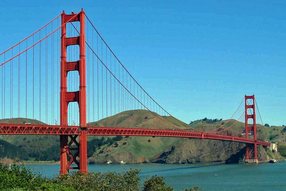
How long did you say?
In the 1970s, a bridge was proposed that would extend from Old Saybrook to Long Island. That would be roughly ten times as long as the Golden Gate Bridge. Residents and officials in eight river-front towns decided that the Connecticut River Gateway Commission and the Zone were needed as protection against unbridled development.