
What is the Zone?
The Zone is a simplified name for the Gateway Conservation Zone that was created by state law in the early 1970s and adopted by eight lower river valley towns.
It is located in parts of East Haddam, Essex, Chester, Deep River, Haddam, Lyme, Old Lyme, and Old Saybrook.
Basically described, the Zone is that area of the lower river valley’s hillsides, shoreline and marshland that can be seen from the river—and from land across the river. This includes various coves and tributaries as well as the main river channel.
The Zone extends roughly 20 miles “as the crow flies” from its far northern boundary down to the Connecticut River’s mouth between Old Saybrook and Old Lyme. As the river meanders south to Long Island Sound, it forms 59 miles of shoreline in the Zone.

This lower Connecticut River valley features numerous state parks, famous landmarks such as Gillette’s Castle, a ferry that began service before America became independent, a scenic railroad, waterfront dining establishments, homes, marinas, museums, and award-winning theaters. It truly is a special region.
The Connecticut River Gateway Commission was created to preserve the Zone’s “natural and traditional” character and today works cooperatively with the eight towns to blend development with care.

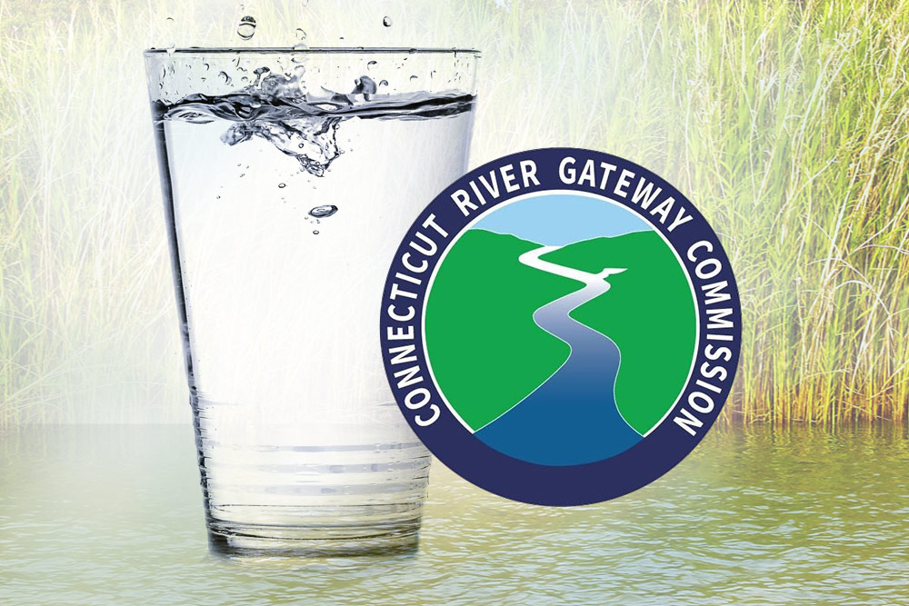
Let Your Lawn Filter Our Water
A Gateway standard included in the zoning regulations of all eight member towns requires a “vegetative buffer” between lawns or upland property and the river. The purpose of this “riparian buffer” is to allow storm or irrigation runoff, which may contain traces of fertilizer or pesticides, to soak into the ground before reaching the Connecticut River. The earth is a great filter, and plant buffers make the river cleaner and healthier for us all.